
Life, 1918-01-24 · page 5 of 40
Life — January 24, 1918 — page 5: what you’re looking at
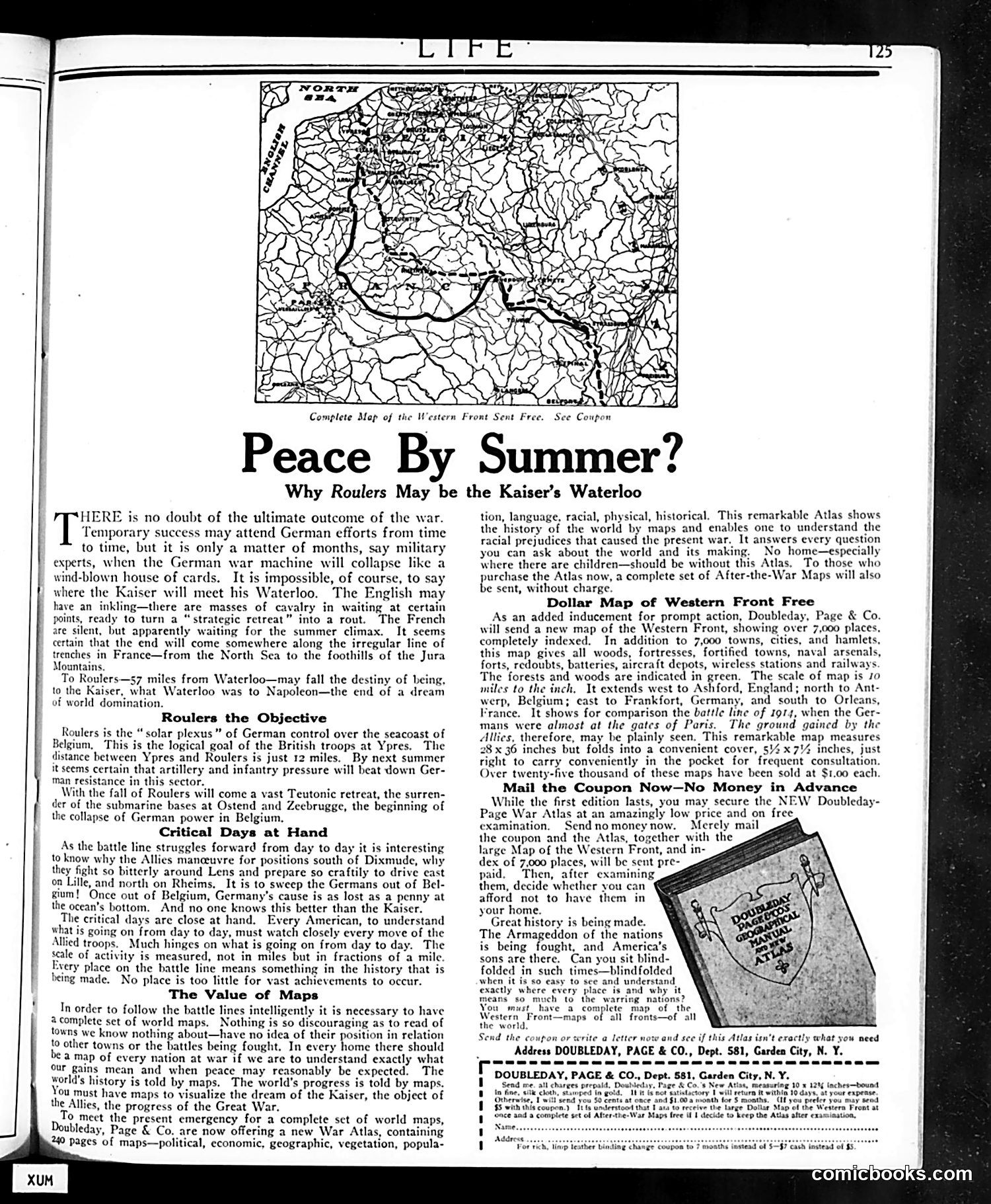
A restored page from Life, 1918-01-24. Page through the whole issue in the reader above.
📄 Transcribed text from this page (OCR, searchable)
Machine-transcribed from the original scan — historical spelling and the odd misread are preserved.
Peace By HERE is no doubt of the ultimate outcome of the war. Temporary success may attend German efforts from time to time, but it is only a matter of months, say mil | experts, when the German war machine will collapse like a wind-blown house of cards. It is impossible, of course, to say where the Kaiser will meet his Waterloo. The English may have an inkling—there are masses of cavalry in waiting at certain points, ready to turn a “strategic retreat” into a rout. The French are silent, but apparently waiting for the summer climax. It seems certain that the end will come somewhere along the irregular line of trenches in France—from the North Sea to the foothills of the Jura Mountains, To Roulers—s7 miles from Waterloo—may fall the destiny of Leing, to the Kaiser, what Waterloo was to Napoleon—the end of a dream of world domination. Roulers the Objective Roulers is the “ solar plexus” of German control over the seacoast of Belgium, This is the logical goal of the British troops at Ypres. The distance between Ypres and Roulers is just 12 miles. By next summer it seems certain that artillery and infantry pressure will beat down Ger- man resistance in this sector. , With the fall of Roulers will come a vast Teutonic retreat, the surren- der of the submarine bases at Ostend and Zeebrugge, the beginning of the collapse of German power in Belgium, Critical Days at Hand As the battle line struggles forward from day to day it is interesting to know why the Allies manceuvre for positions south of Dixmude, why they fight so bitterly around Lens and prepare so craftily to drive east on Lille, and north on Rheims, It is to sweep the Germans out of Bel- gium! Once out of Belgium, Germany's cause is as lost as a penny at the ocean’s bottom. And no one knows this better than the Kaiser. The critical days are close at hand. Every American, to understand what is going on from day to day, must watch closely every move of the Allied troops. Much hinges on what is going on from day to day. The scale of activity is measured, not in miles but in fractions of a mile. Every place on the battle line means something in the history that is being made. No place is too little for vast achievements to occur. The Value of Maps In order to follow the battle lines intelligently it is necessary to have complete set of world maps. Nothing is so discouraging as to read of towns we know nothing about—have no idea of their position in relation to other towns or the battles being fought. In every home there should a map of every nation at war if we are to understand exactly what our gains mean and when peace may reasonably be expected. The world’s history is told by maps. The world’s progress is told by maps. ou must have maps to visualize the dream of the Kaiser, the object of the Allies, the progress of the Great War. To meet the present emergency for a complete set of world maps, Doubleday, Page & Co. are now offering a new War Atlas, containing 240 pages of maps—political, economic, geographic, vegetation, popula- ; eNOS PRR ROG Mp Complete Mop of the Western Front Sent Why Roulers May be the Kaiser’s Waterloo ee Peay © Free. See Coupon Summer? tion, language, racial, physical, historical. This remarkable Atlas shows the history of the world by maps and enables one to understand the racial prejudices that caused the present war. It answers every question you can ask about the world and its making. No home—especially where there are children—should be without this Atlas. To those who purchase the Atlas now, a complete set of After-the-War Maps will also be sent, without charge. Dollar Map of Western Front Free As an added inducement for prompt action, Doubleday, Page & Co. will send ‘a new map of the Western Front, showing over 7,000 places, completely indexed. In addition to 7,000 towns, cities, and hamlets, this map gives all woods, fortresses, fortified towns, naval arsenals, forts, redoubts, batteries, aircraft depots, wireless stations and railways. The forests and woods are indicated in green. The scale of map is 10 miles to the inch, It extends west to Ashford, England; north to Ant- rp, Belgium; east to Frankfort, Germany, and south to Orleans, France. It shows for comparison the battle line of 1914, when the Ger- mans were almost at the gates of Paris. The ground gained by the Allies, therefore, may be plainly seen. This remarkable map measures 28x 36 inches but folds into a convenient cover, §¥x7% inches, just right to carry conveniently in the pocket for frequent consultation. Over twenty-five thousand of these maps have been sold at $1.00 each. Mail the Coupon Now—No Money in Advance While the first edition lasts, you may secure the NEW Doubleday- Page War Atlas at an amazingly low price and on free examination. Sendnomoney now. Merely mail the coupon and the Atlas, together with the large Map of the Western Front, and in- dex of 7,000 places, will be sent pre- paid, Then, after examining them, decide whether you can afford not to have them in your home. Great history is being made. The Armageddon of the nations is being fought, and America’s sons are there, Can you sit blind- folded in such times—blindfolded when it is so easy to see and understand exactly where every place is and why it means so much to the warring nations? You must. have a complete map of the Wentern Front—maps of all fronts—of all the world. Send the coupon or write a letter now and sce if this Atlas isn’t exactly what you need Address DOUBLEDAY, PAGE & CO., Dept. 581, Garden City, N. Y. x