
Judge, 1926-08-07 · page 18 of 36
Judge — August 7, 1926 — page 18: what you’re looking at
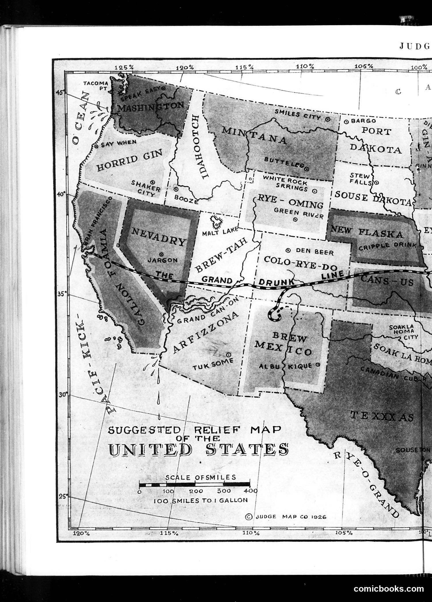
What you’re looking at
This is a Prohibition-era satirical map using humorous place names to mock the enforcement of the 18th Amendment. The shaded regions represent states or areas associated with illegal alcohol production and consumption. Key satirical elements include fictitious county names like "Horrid Gin," "Booze," "The Nevadry," "Brew-Tah," "Colo-Rye-Do," and "Brew Mexico"—puns combining geography with alcohol types (gin, rye whiskey, beer). Real place names are also incorporated as jokes (e.g., "Say When," referencing the phrase used when pouring drinks). The map's caption, "100 miles to 1 gallon," sarcastically suggests alcohol availability rather than distance measurements. Created in 1926 during Prohibition (1920-1933), this cartoon mocked the widespread failure of alcohol bans, the prevalence of illegal speakeasies and home brewing, and public mockery of government enforcement efforts. Judge magazine frequently satirized Prohibition's ineffectiveness and unpopularity.
📄 Transcribed text from this page (OCR, searchable)
Machine-transcribed from the original scan — historical spelling and the odd misread are preserved.
TACOMA booed eT. @ SAY WHEN oRRtD om Shane “g8ee | © DEN BEER | CoLo I “RYE-po / SUGGESTED RELIEF MAP / “UNITED 8 STATES ee OFSMILES ° 109 200 300° 40g ECOPSMILES TOIGALLON ; : | ©)/vu0GeE MAP co 1926 = ——— = 110% comicbooks.com