
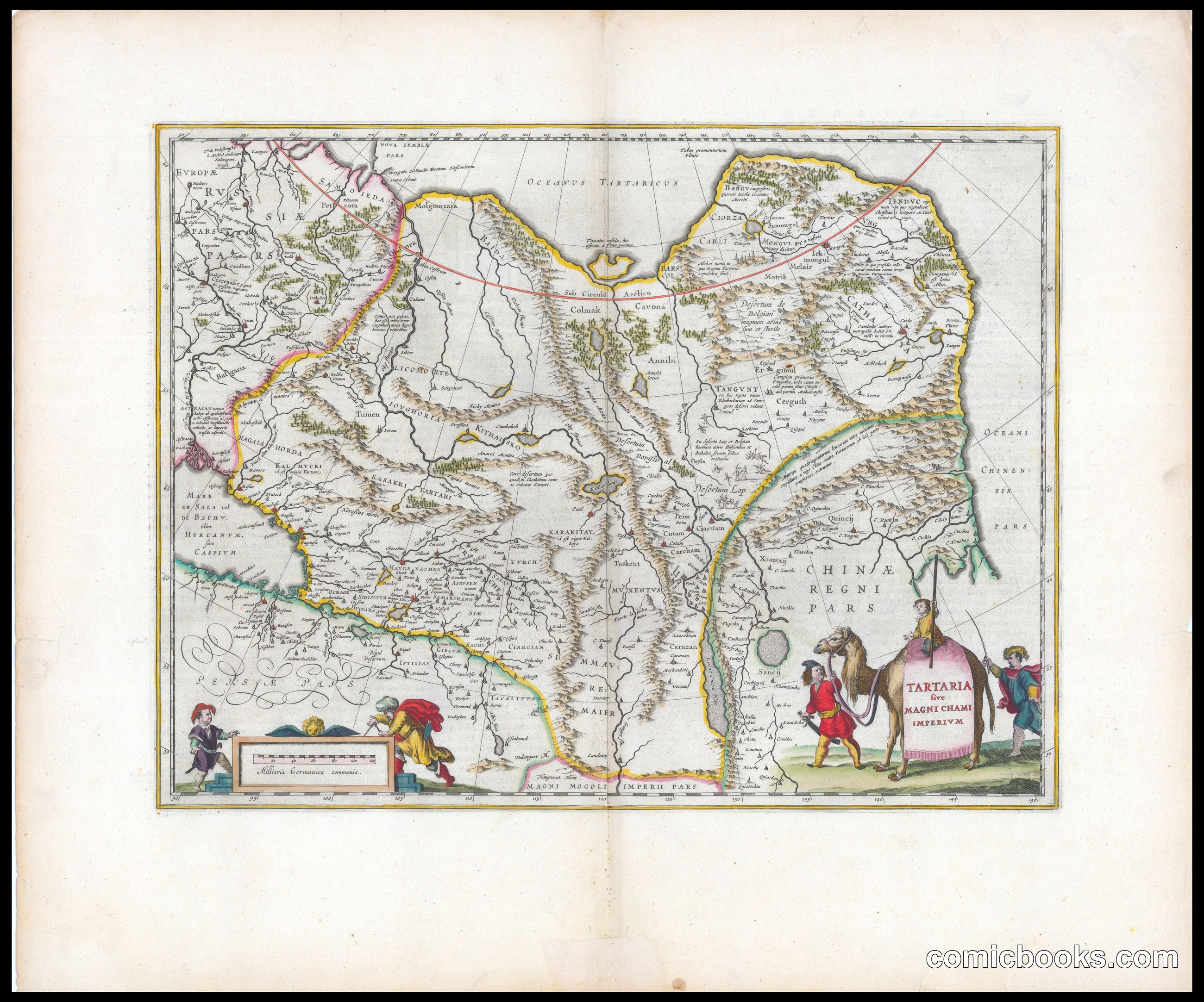
Jan Jansson's engraved map of Tartary and the Mongol Empire exemplifies early modern cartography's blend of geographical ambition and imaginative speculation. This copper engraving renders vast Asian territories through European eyes, depicting regions only partially known through trade routes and travel accounts. The ornamental cartouches—featuring allegorical figures and heraldic emblems—frame the mapmaker's authority while acknowledging gaps in knowledge. Rather than satirical commentary, Jansson's work shows how seventeenth-century prints conveyed information and fantasy together, establishing visual conventions that comic illustration would later inherit: symbolic borders, detailed linework, and decorative frames that organize and interpret complex subjects for public audiences.
About this artifact
- Creator
- Jansson, Jan, 1588-1664
- Date
- 1662
- Rights
- Public domain — free to view, share, and reuse.
- Restoration
- Digitally restored and hosted by ComicBooks.com · high-resolution version available.
Part of our mission to preserve and restore the public-domain heritage of the medium.