
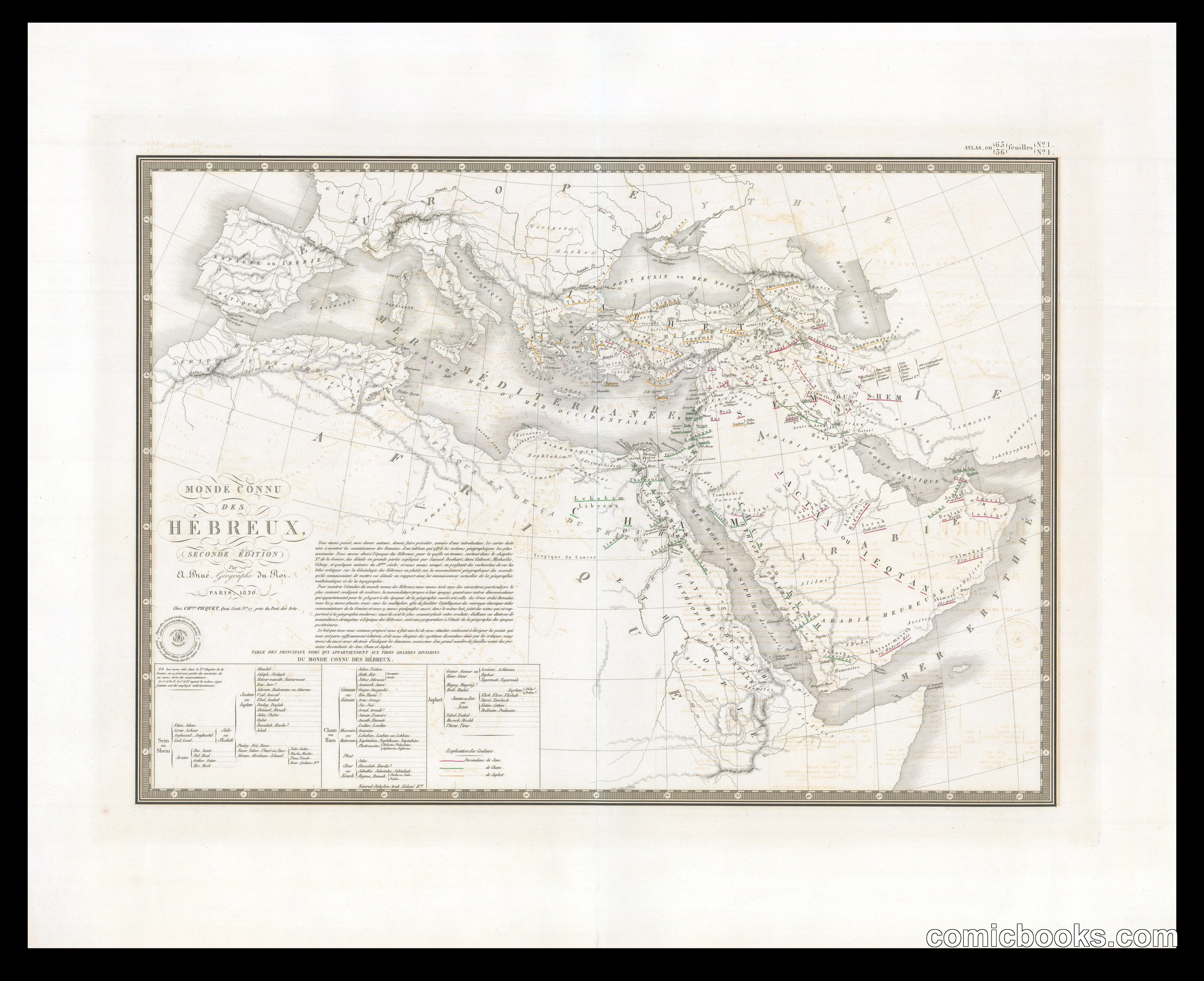
Monde connu des Hébreux (The Known World of the Hebrews)
Brué, Adrien Hubert, 1786-1832 · 1830
This historical map by cartographer Adrien Hubert Brué depicts the ancient Near East and Mediterranean regions as understood in Hebrew biblical tradition. Rather than satire, this engraved map represents 19th-century scholarly attempts to reconstruct ancient Jewish geography and territorial knowledge. Brué's work reflects the Enlightenment period's growing academic interest in biblical lands, combining geographic precision with historical-theological interpretation. The map includes detailed insets and textual annotations explaining biblical place names and their locations. Though presented as objective cartography, such works reveal how European scholars of the era selectively framed non-European history through their own frameworks. This map predates the modern comic tradition but shares its era's visual culture of explanation and narrative geography—methods that would influence how sequential art later conveyed historical and mythological information.
About this artifact
- Creator
- Brué, Adrien Hubert, 1786-1832
- Date
- 1830
- Rights
- Public domain — free to view, share, and reuse.
- Restoration
- Digitally restored and hosted by ComicBooks.com · high-resolution version available.
Part of our mission to preserve and restore the public-domain heritage of the medium.