
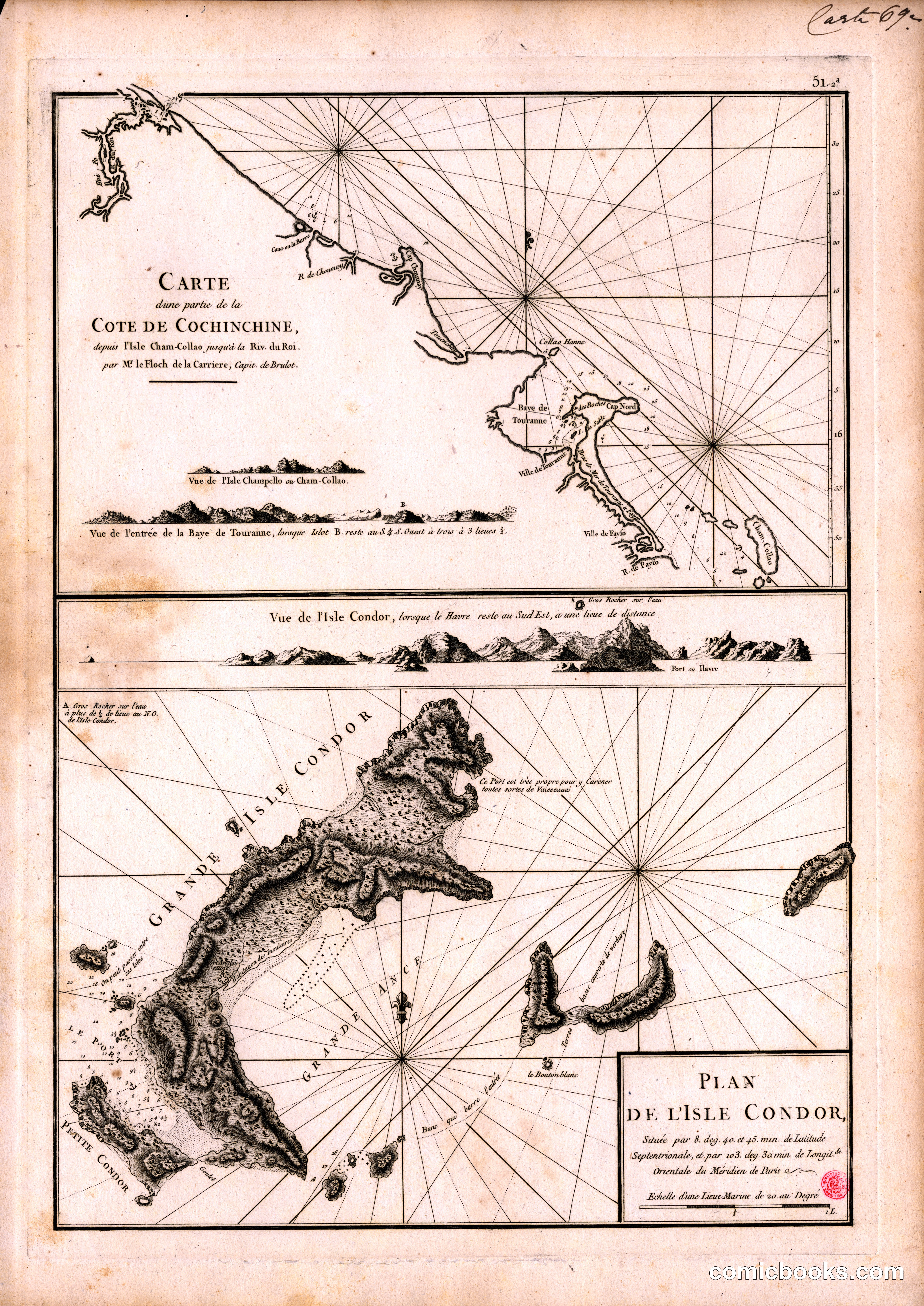
This is not a cartoon but a navigational chart — two copper-plate engravings on a single sheet — depicting the coastline of Cochinchina (present-day southern Vietnam) and a detailed plan of Poulo Condor (Côn Sơn Island). The upper panel charts the shore from Île Cham-Collao to the Roi River, with compass roses, depth soundings, and profile views of headlands that pilots used to identify landfall. The lower panel isolates Grande Isle Condor, its anchorage, and satellite islets. Engraved with the fine burin line of French maritime cartography, the sheet belongs to a tradition of illustrated geographic publishing — Bellin's Petit Atlas Maritime and similar works — whose page-by-page visual sequencing of landscape profiles and plans directly prefigures the panel grammar later comics would formalize.
About this artifact
- Date
- 1775
- Rights
- Public domain — free to view, share, and reuse.
- Restoration
- Digitally restored and hosted by ComicBooks.com · high-resolution version available.
Part of our mission to preserve and restore the public-domain heritage of the medium.