
Pulp Fiction, 1955 · page 98 of 146
Authentic Science Fiction Monthly, No. 56 — page 98: what you’re looking at
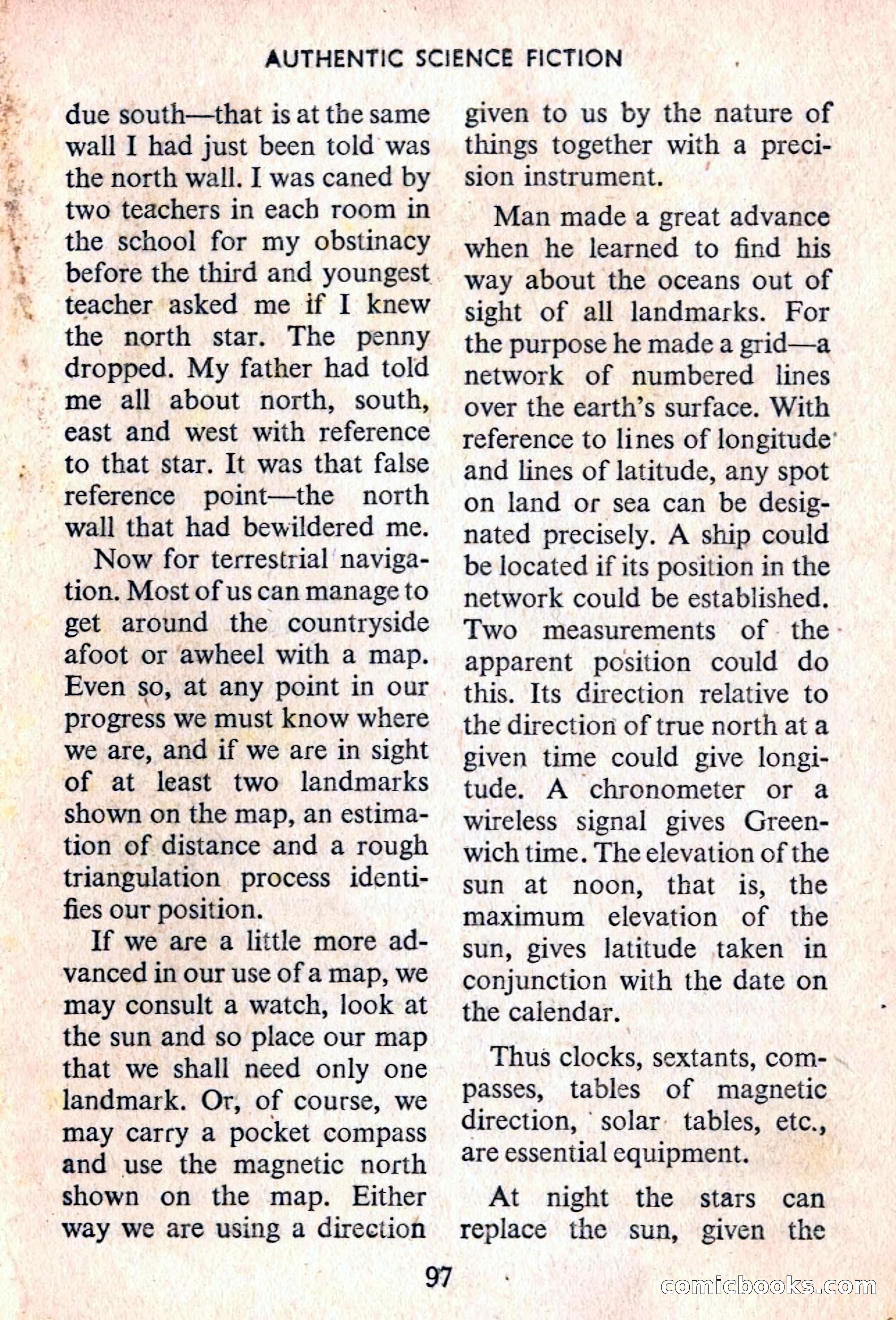
A restored page from Pulp Fiction, 1955. Page through the whole issue in the reader above.
📄 Transcribed text from this page (OCR, searchable)
Machine-transcribed from the original scan — historical spelling and the odd misread are preserved.
> Wy be 4 —_ Ata pert. aE. Sa aT AUTHENTIC SCIENCE FICTION due south—that is at the same wall I had just been told was the north wall. I was caned by two teachers in each room in the school for my obstinacy before the third and youngest teacher asked me if I knew the north star. The penny dropped. My father had told - me all about north, south, east and west with reference to that star. It was that false reference point—the north wall that had bewildered me. Now for terrestrial naviga- tion. Most of us can manage to get around the countryside afoot or awheel with a map. Even so, at any point in our progress we must know where we are, and if we are in sight of at least two landmarks shown on the map, an estima- tion of distance and a rough triangulation process identi- fies our position. If we are a little more ad- vanced in our use of a map, we may consult a watch, look at the sun and so place our map that we shall need only one landmark. Or, of course, we may carry a pocket compass and use the magnetic north shown on the map. Either way we are using a direction 97 given to us by the nature of things together with a preci- sion instrument. Man made a great advance when he learned to find his way about the oceans out of sight of all landmarks. For the purpose he made a grid—a network of numbered lines over the earth’s surface. With reference to lines of longitude’ and lines of latitude, any spot on land or sea can be desig- nated precisely. A ship could be located if its position in the network could be established. Two measurements of. the - apparent position could do this. Its direction relative to the direction of true north ata given time could give longi- tude. A chronometer or a wireless signal gives Green- wich time. The elevation of the sun at noon, that is, the maximum elevation of the sun, gives latitude taken in conjunction with the date on the calendar. Thus clocks, sextants, com- passes, tables of magnetic direction, solar tables, etc., are essential equipment. At night the stars can replace the sun, given the conmicloooks.conn