
Pulp Fiction, 1921 · page 195 of 200
Adventure Magazine Cover, August 18, 1921 — page 195: what you’re looking at
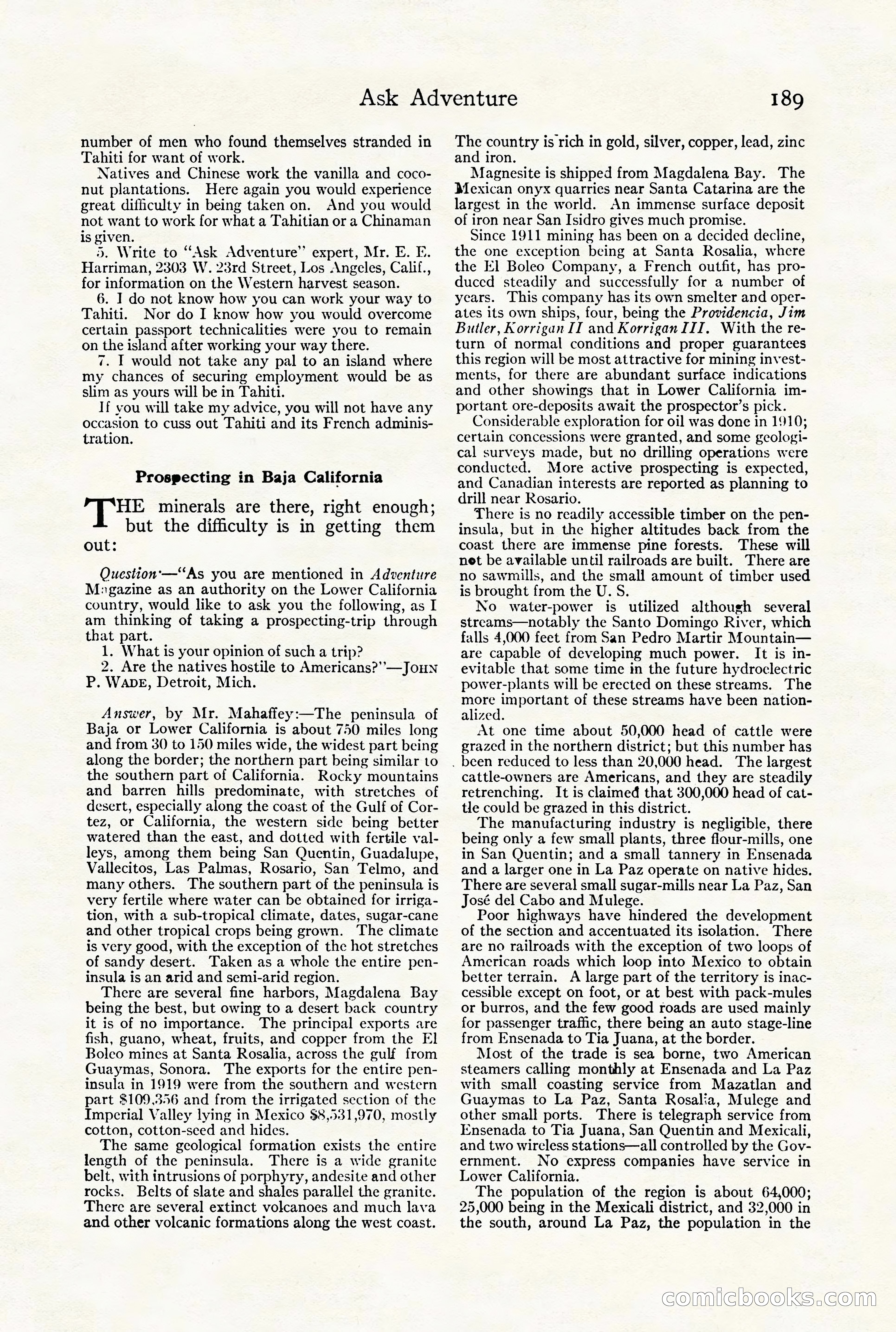
A restored page from Pulp Fiction, 1921. Page through the whole issue in the reader above.
📄 Transcribed text from this page (OCR, searchable)
Machine-transcribed from the original scan — historical spelling and the odd misread are preserved.
Ask Adventure number of men who found themselves stranded in Tahiti for want of work. Natives and Chinese work the vanilla and coco- nut plantations. Here again you would experience great difficulty in being taken on. And you would not want to work for what a Tahitian or a Chinaman is given. }). Write to “Ask Adventure” expert, Mr. E. F. Harriman, 2303 W. 23rd Street, Los Angeles, Calif., for information on the Western harvest season. 6. I do not know how you can work your way to Tahiti. Nor do I know how you would overcome certain passport technicalities were you to remain on the island after working your way there. 7. I would not take any pal to an island where my chances of securing employment would be as slim as yours will be in Tahiti. If vou will take my advice, you will not have any occasion to cuss out Tahiti and its French adminis- tration. Prospecting in Baja California [= minerals are there, right enough; but the difficulty is in getting them out: Question-—“As you are mentioned in Adventure M:gazine as an authority on the Lower California country, would like to ask you the following, as I am thinking of taking a prospecting-trip through that part. 1. What is your opinion of such a trip? 2. Are the natives hostile to Americans?’’—JoHNn P. WADE, Detroit, Mich. Answer, by Mr. Mahaffey:—The peninsula of Baja or Lower California is about 750 miles long and from 30 to 150 miles wide, the widest part being along the border; the northern part being similar to the southern part of California. Rocky mountains and barren hills predominate, with stretches of desert, especially along the coast of the Gulf of Cor- tez, or California, the western side being better watered than the east, and dotted with fertile val- leys, among them being San Quentin, Guadalupe, Vallecitos, Las Palmas, Rosario, San Telmo, and many others. The southern part of the peninsula is very fertile where water can be obtained for irriga- tion, with a sub-tropical climate, dates, sugar-cane and other tropical crops being grown. The climate is very good, with the exception of the hot stretches of sandy desert. Taken as a whole the entire pen- insula is an arid and semi-arid region. There are several fine harbors, Magdalena Bay being the best, but owing to a desert back country it is of no importance. The principal exports are fish, guano, wheat, fruits, and copper from the El Boleo mines at Santa Rosalia, across the gulf from Guaymas, Sonora. The exports for the entire pen- insula in 1919 were from the southern and western part $109,356 and from the irrigated section of the Impcrial Valley lying in Mexico $8,531,970, mostly cotton, cotton-seed and hides. The same geological formation exists the entire length of the peninsula. There is a wide granite belt, with intrusions of porphyry, andesite and other rocks. Belts of slate and shales parallel the granite. There are several extinct volcanoes and much lava and other volcanic formations along the west coast. 189 The country is rich in gold, silver, copper, lead, zinc and iron. Magnesite is shipped from Magdalena Bay. The Mexican onyx quarries near Santa Catarina are the largest in the world. An immense surface deposit of iron near San Isidro gives much promise. Since 1911 mining has been on a decided decline, the one exception being at Santa Rosalia, where the EK] Boleo Company, a French outfit, has pro- duced steadily and successfully for a number of years. This company has its own smelter and oper- ates its own ships, four, being the Providencia, Jim Butler, Korrigan II and KorriganIII. With the re- turn of normal conditions and proper guarantces this region will be most attractive for mining invest- ments, for there are abundant surface indications and other showings that in Lower California im- portant ore-deposits await the prospector’s pick. Considerable exploration for oil was done in 1910; certain concessions were granted, and some geologi- cal surveys made, but no drilling operations were conducted. More active prospecting is expected, and Canadian interests are reported as planning to drill near Rosario. There is no readily accessible timber on the pen- insula, but in the higher altitudes back from the coast there are immense pine forests. These will net be available until railroads are built. There are no sawmills, and the small amount of timber used is brought from the U. S. No water-power is utilized although several streams—notably the Santo Domingo River, which falls 4,000 feet from San Pedro Martir Mountain— are capable of developing much power. It is in- evitable that some time in the future hydroelectric power-plants will be erected on these streams. The nore portant of these streams have been nation- alized. At one time about 50,000 head of cattle were grazcd in the northern district; but this number has . been reduced to less than 20,000 head. The largest cattle-owners are Americans, and they are steadily retrenching. It is claimed that 300,000 head of cat- tle could be grazed in this district. The manufacturing industry is negligible, there being only a few small plants, three flour-mills, one in San Quentin; and a small tannery in Ensenada and a larger one in La Paz operate on native hides. There are several small sugar-mills near La Paz, San José del Cabo and Mulege. Poor highways have hindered the development of the section and accentuated its isolation. There are no railroads with the exception of two loops of American roads which loop into Mexico to obtain better terrain. A large part of the territory is inac- cessible except on foot, or at best with pack-mules or burros, and the few good roads are used mainly for passenger traffic, there being an auto stage-line from Ensenada to Tia Juana, at the border. Most of the trade is sea borne, two American steamers calling monthly at Ensenada and La Paz with small coasting service from Mazatlan and Guaymas to La Paz, Santa Rosalia, Mulege and other small ports. There is telegraph service from Ensenada to Tia Juana, San Quentin and Mexicali, and two wireless stations—all controlled by the Gov- ernment. No express companies have service in Lower California. The population of the region is about 64,000; 25,000 being in the Mexicali district, and 32,000 in the south, around La Paz, the population in the Comicboooks CO S|