
Cartoons & Caricature
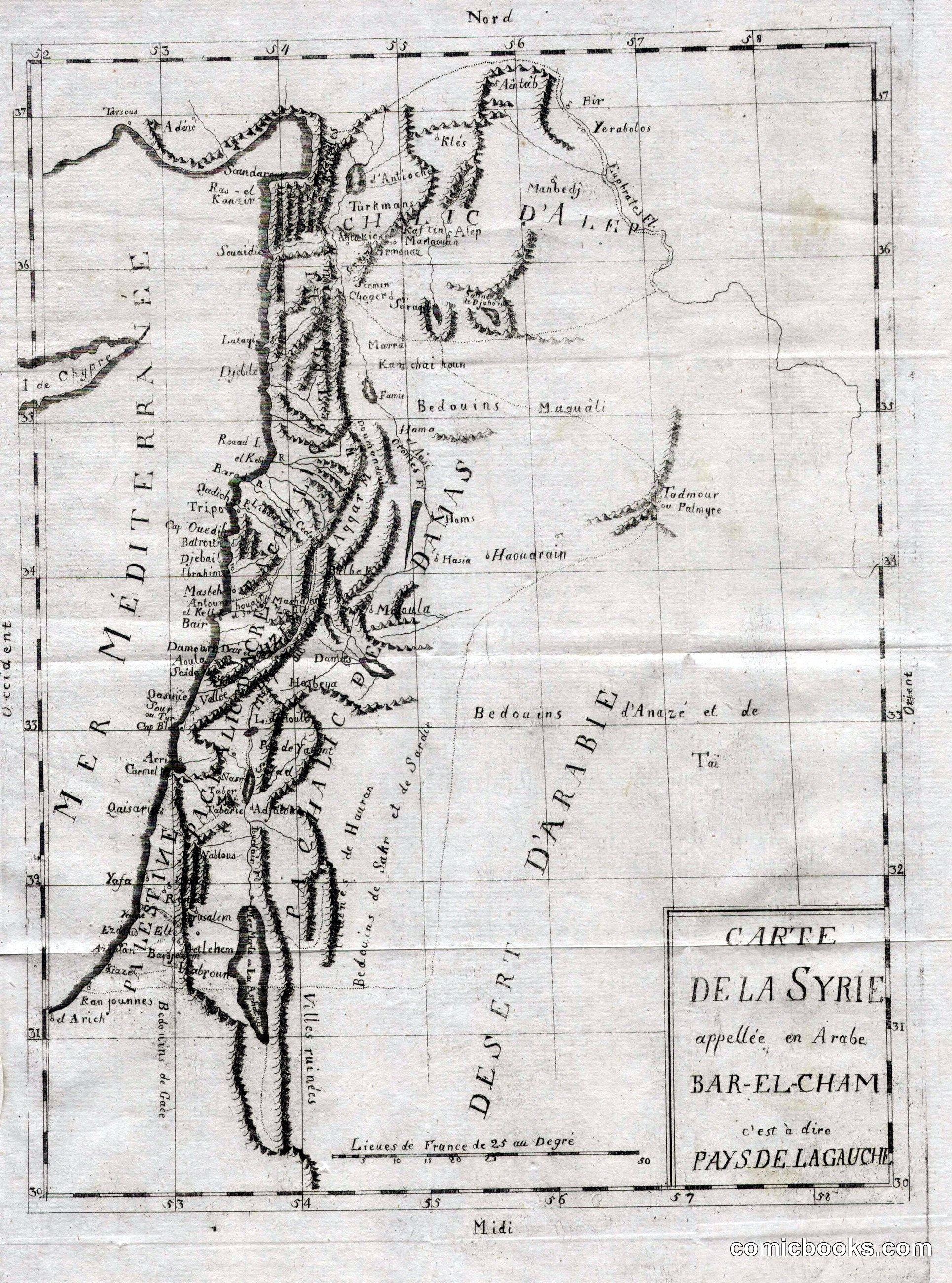
Carte de la Syrie appellée en Arabe Bar-El-Cham c'est à dire Pays de La Gauche
· c. 1700
This is not a cartoon but a French geographical map of Greater Syria — the Levantine coast from Aleppo south through Palestine to Sinai, with Cyprus visible at left and the Syrian Desert stretching east. Engraved in copper, it shows mountain ranges as hachured ridges, settlements as small circles, and tribal territories labeled (Bedouins d'Anazé, Pays de Hauran). The title panel explains the Arabic name Bar-el-Cham — 'Land of the Left,' meaning the north as oriented toward Mecca. It belongs in any history of printed image-making from which illustrated narrative — and eventually comics — descended.
About this artifact
- Date
- c. 1700
- Rights
- Public domain — free to view, share, and reuse.
- Restoration
- Digitally restored and hosted by ComicBooks.com · high-resolution version available.
Part of our mission to preserve and restore the public-domain heritage of the medium.