
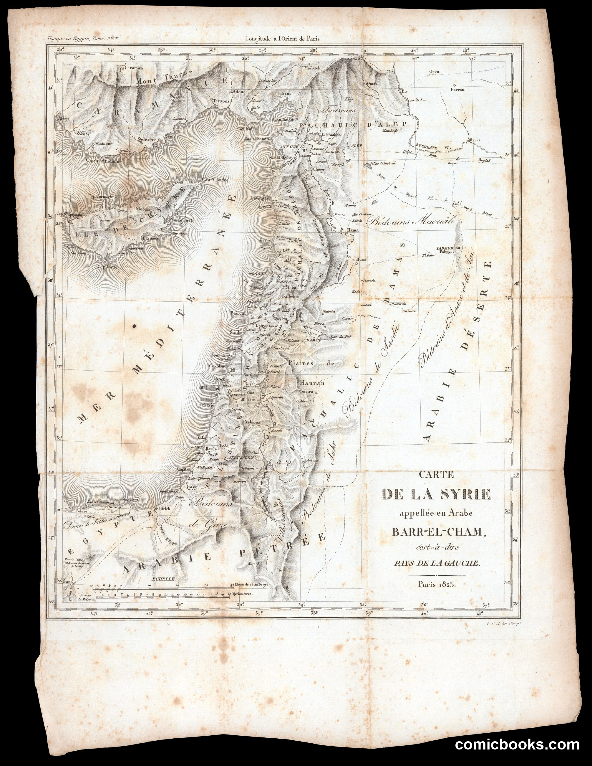
This is not a caricature or political cartoon but a copper-engraved geographical map of Greater Syria — the Levantine coast, the Bekaa Valley, Palestine, and the Syrian Desert — published in Paris in 1825, engraved by F. P. Michel. The sheet, stained with age, labels regions in French and Arabic transliteration: Pachalic d'Alep, Arabie Pétrée, Mer Méditerranée. It belongs to the tradition of French Orientalist cartography that accompanied Napoleon's Egyptian campaign and its enormous published aftermath, Description de l'Égypte. Such maps employed standardized cartographic conventions including longitude lines and place-names to represent geographical and political territories.
About this artifact
- Creator
- Michel, F. P.
- Date
- Paris, 1825
- Rights
- Public domain — free to view, share, and reuse.
- Restoration
- Digitally restored and hosted by ComicBooks.com · high-resolution version available.
Part of our mission to preserve and restore the public-domain heritage of the medium.