
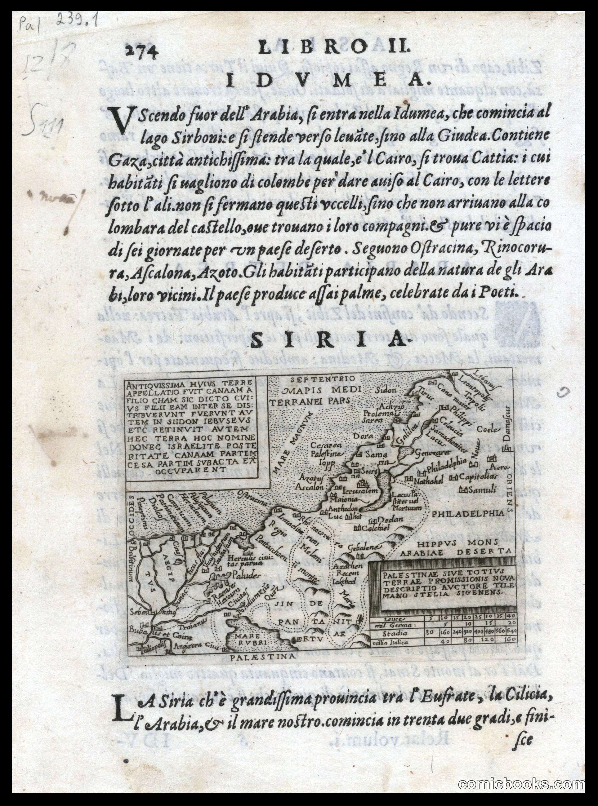
Palestinae sive totius terrae promissionis nova descriptio
Stella, Tilemann, 1525-1589 · 1655
This woodcut map from mid-seventeenth-century Rome depicts the Holy Land with classical Latin text and decorative cartouches. The work combines geographical documentation with religious instruction, presenting Palestine within the context of surrounding regions and ancient place names. The format—engraved detail on parchment with explanatory text—reflects the Renaissance fusion of cartography, theology, and humanism. Such maps served both scholarly and devotional purposes, establishing visual conventions for territory and authority that would persist through later print traditions. The ornamental frame and systematic labeling mirror methods used in subsequent broadsheets and illustrated books that informed modern sequential narrative forms.
About this artifact
- Creator
- Stella, Tilemann, 1525-1589
- Date
- 1655
- Rights
- Public domain — free to view, share, and reuse.
- Restoration
- Digitally restored and hosted by ComicBooks.com · high-resolution version available.
Part of our mission to preserve and restore the public-domain heritage of the medium.