
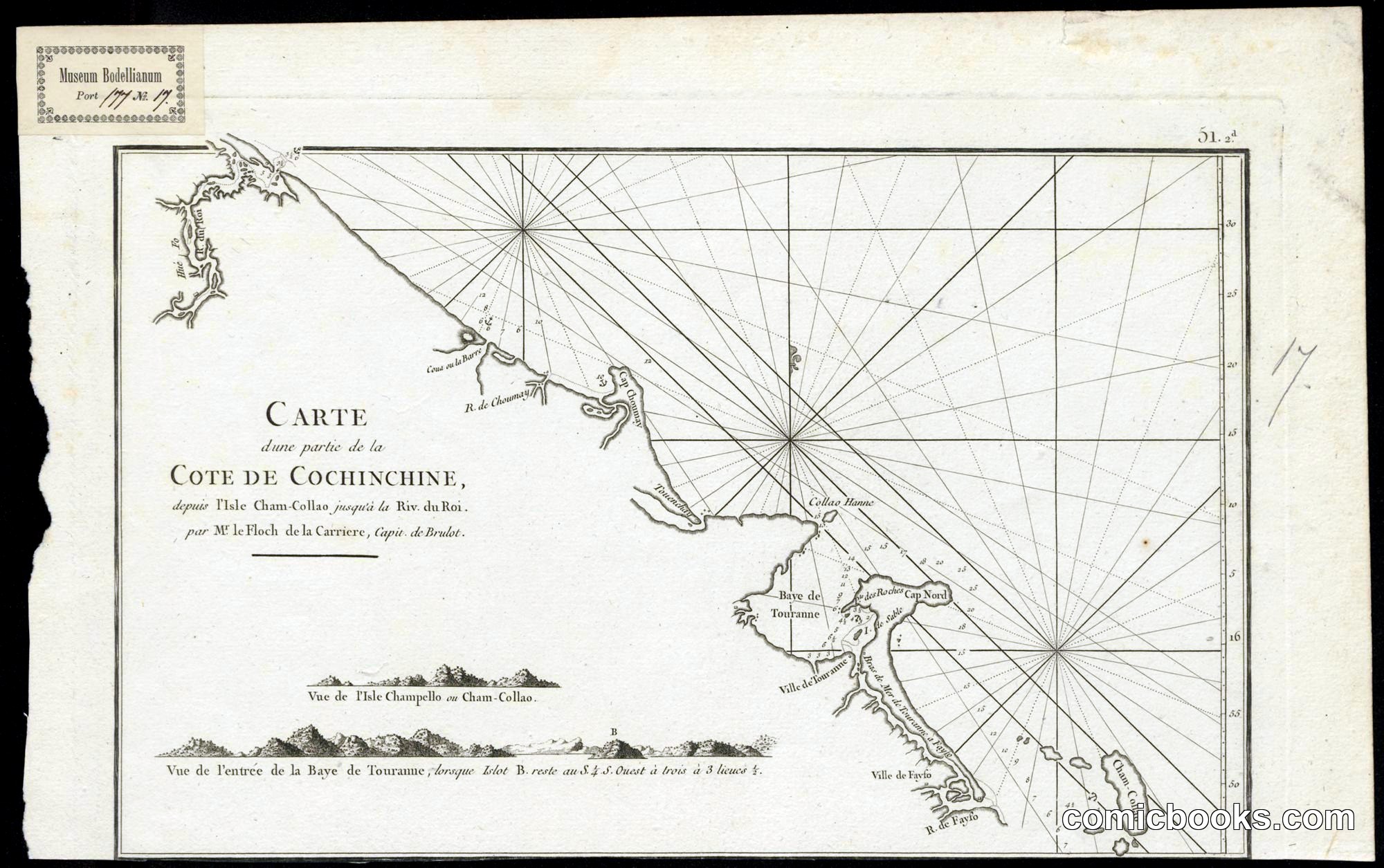
Carte d'une partie de la Cote de Cochinchine
Après de Mannevillette, Jean-Baptiste-Nicolas-Denis d', · 1775, after Jean-Baptiste-Nicolas-Denis d'Après de Mannevillette
This is a copper-plate engraved nautical chart of the central Vietnamese coastline — the Bay of Tourane (Da Nang), the Cham-Collao islands, and the Rivière du Roi — drawn from French hydrographic surveys and published in Mannevillette's Neptune Oriental. Rhumb-line grids radiate from compass roses; coastal profiles at the bottom orient mariners approaching the bay. The stamp 'Museum Bodleianum' places it in the Bodleian collection. As a cartographic engraving it belongs to the same intaglio print culture that produced Hogarth and Gillray — the same London and Paris workshops, the same skilled plate-cutters — but its purpose is navigation rather than satirical commentary.
About this artifact
- Creator
- Après de Mannevillette, Jean-Baptiste-Nicolas-Denis d',
- Date
- 1775, after Jean-Baptiste-Nicolas-Denis d'Après de Mannevillette
- Rights
- Public domain — free to view, share, and reuse.
- Restoration
- Digitally restored and hosted by ComicBooks.com.
Part of our mission to preserve and restore the public-domain heritage of the medium.