
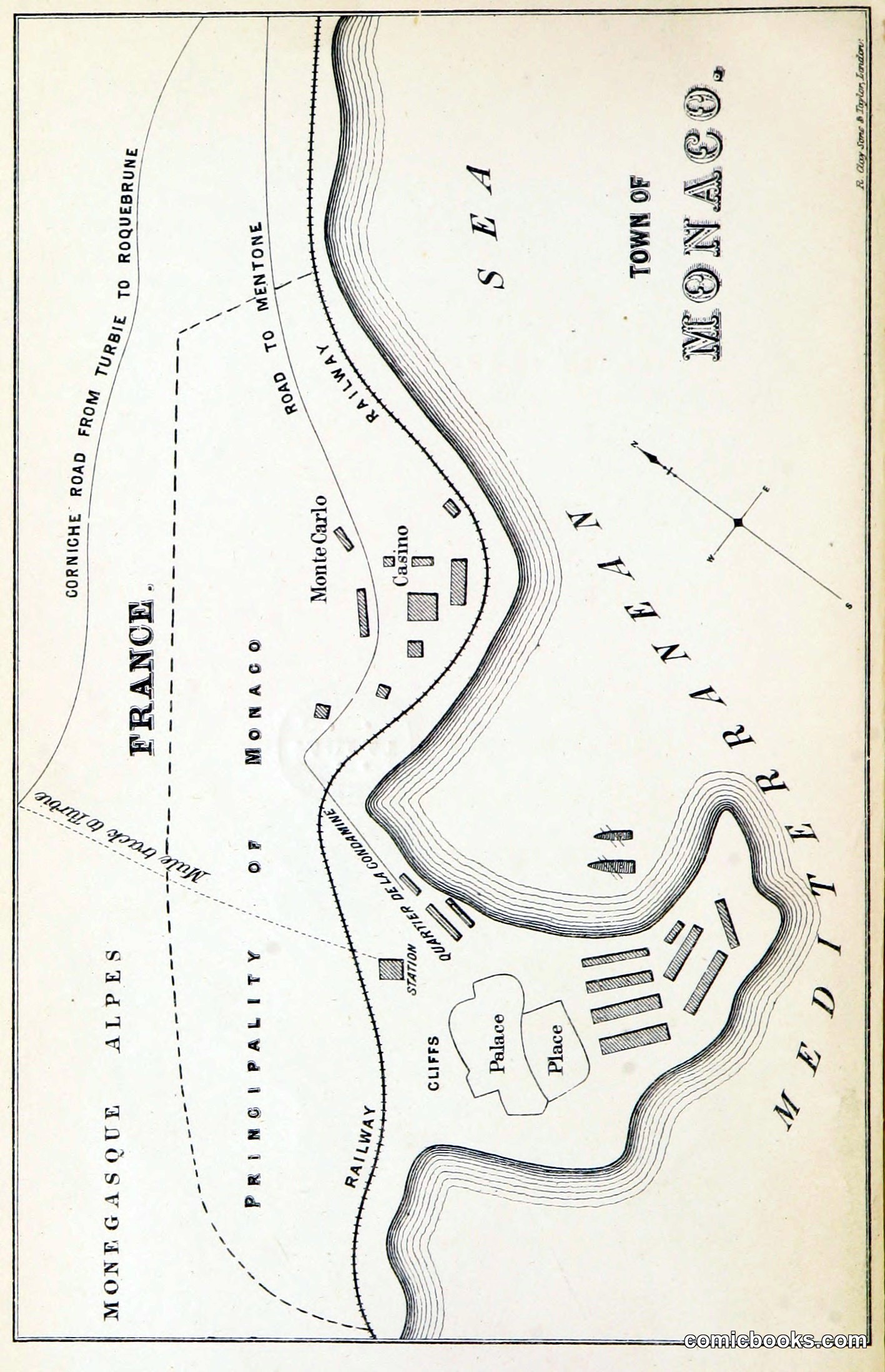
This wood-engraved map accompanies an 1874 satirical political narrative attacking Sir Charles Dilke's rival, Prince Florestan of Monaco. The cartographic format—showing the principality's fortifications, harbor, and key buildings in mock-serious detail—parodies official state documents while advancing a partisan attack. The work exemplifies Victorian print satire's reliance on visual wit and textual irony, continuing traditions established by Hogarth and Gillray. Political caricature and satirical maps of this period regularly ridiculed public figures through technical mimicry, exploiting readers' familiarity with authoritative printed forms to undermine their subjects' credibility. Such prints bridged elite literary culture and mass distribution, establishing methods of political image-making that would inform early comic journalism and sequential narrative.
About this artifact
- Date
- 1874
- Rights
- Public domain — free to view, share, and reuse.
- Restoration
- Digitally restored and hosted by ComicBooks.com.
Part of our mission to preserve and restore the public-domain heritage of the medium.